Chile 2010
Day 1, 2, 4, 5, 6, 7, 8, 9 My other Andes photo narrative
|
|
|
|
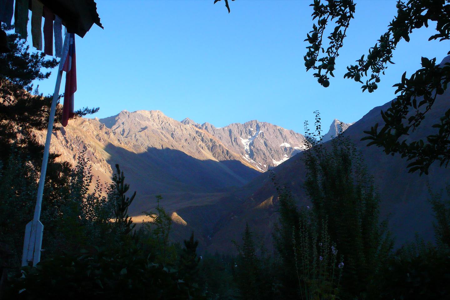
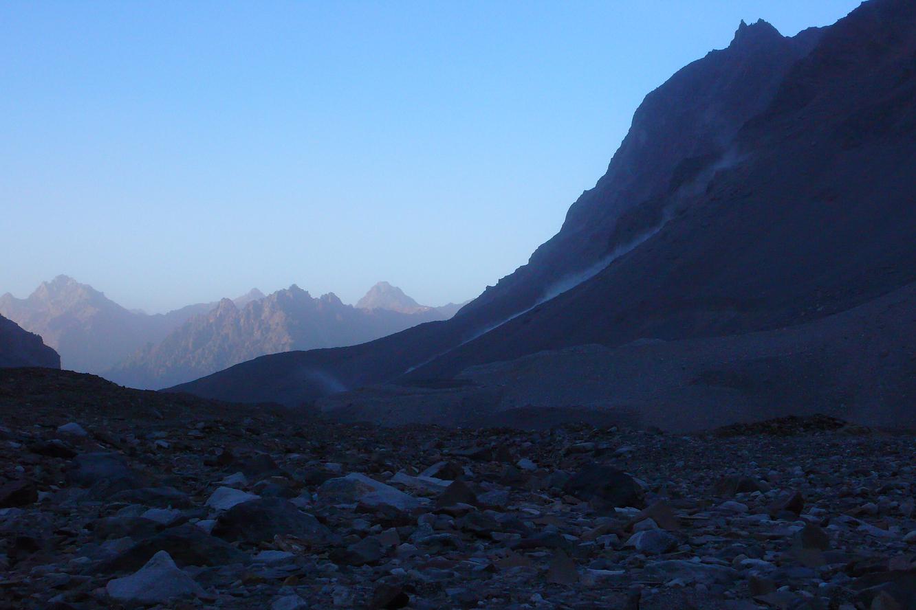
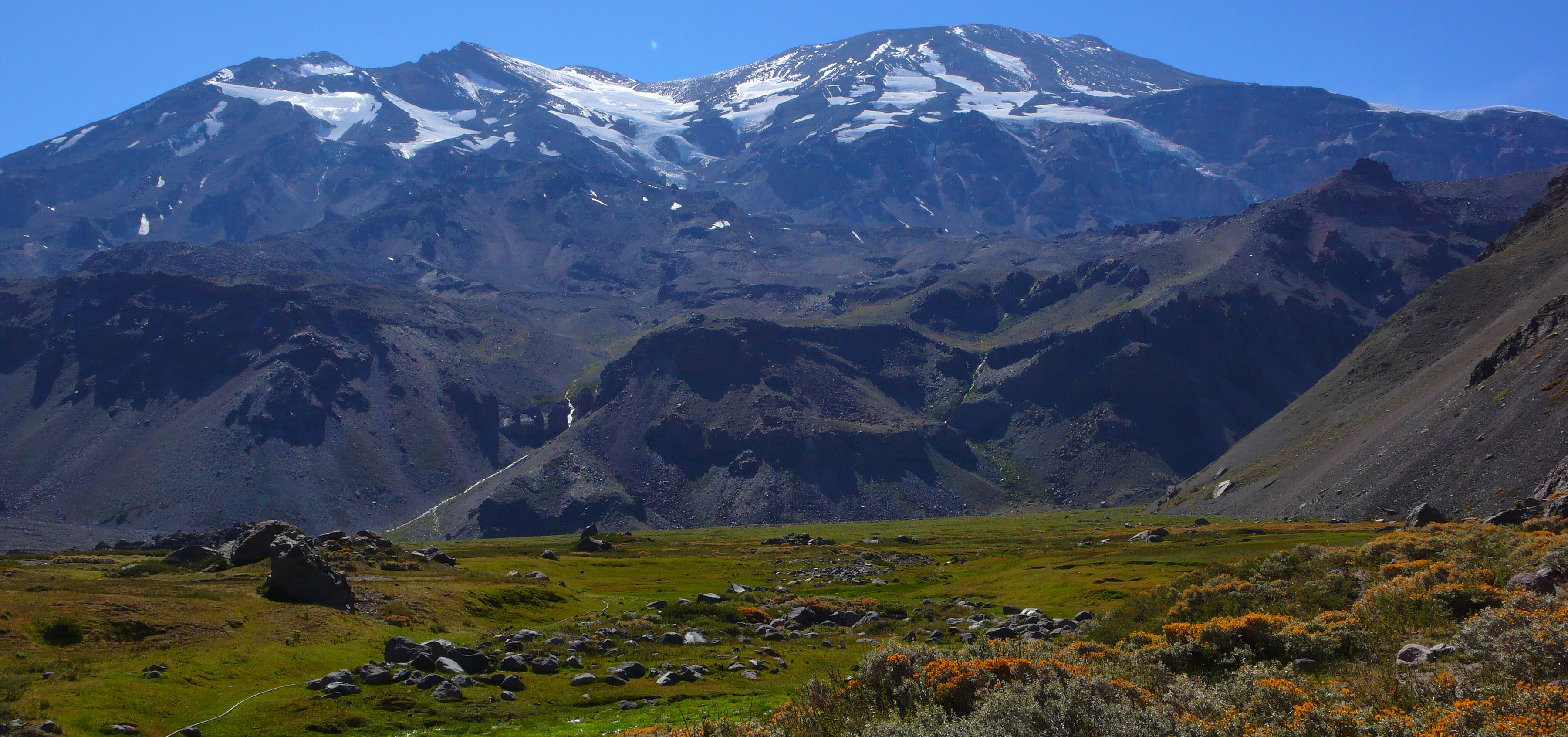
Early morning view of El Morado Sur (4490m according to IGM Chile) from the Refugio Lo Valdés (Refugio Alemán). 02/26/2010 07:31:00 Rounding Morro Negro to enter the Valle de la Engorda below Cerro la Peineta (the nearby peak in the left of the picture). 02/26/2010 09:28:34 Looking back towards the Valle de la Engorda and the Cajón del Maipo from the other side of the Estero Marmolejo. 02/26/2010 10:58:31 |
| 
|
|
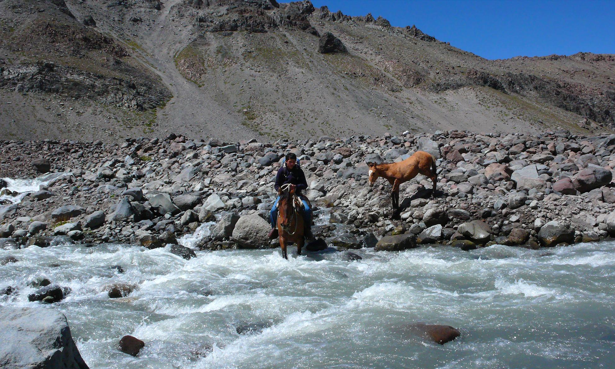
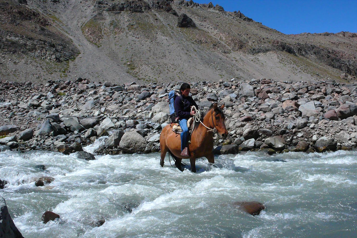
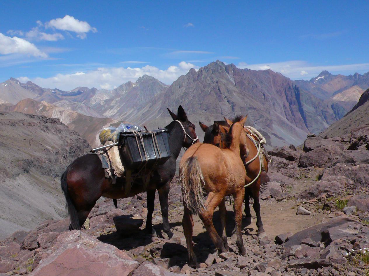
Aaron, our exceptionally sympathetic muleteer, carries Manuel's backpack across the imposing Estero Marmolejo. 02/26/2010 12:39:34 & 12:39:38 Pausing briefly to look back to where we came from and admire the polychromatic mountains to the south. 02/26/2010 13:20:28 |
| 
|
|
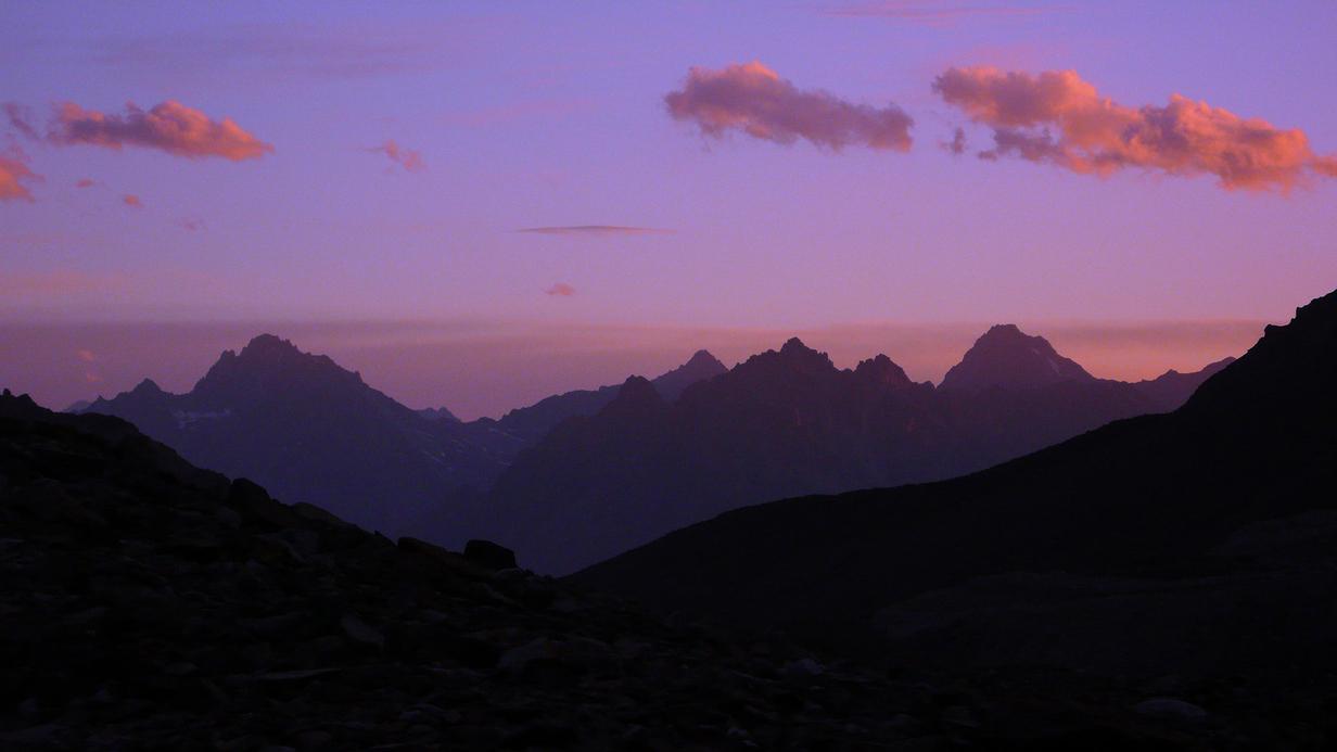
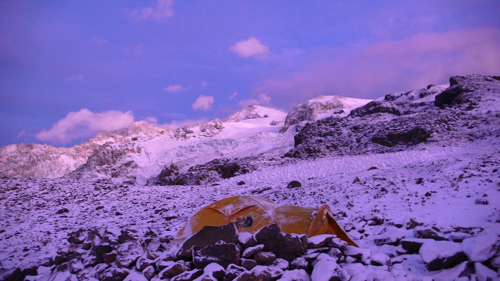
Volcán la Engorda at dusk, seen from the base camp near the far end of the Marmolejo Valley. 02/26/2010 19:24:06 Looking south from the base camp near the far end of the Marmolejo Valley. 02/26/2010 19:24:27 | |
| 
|
|
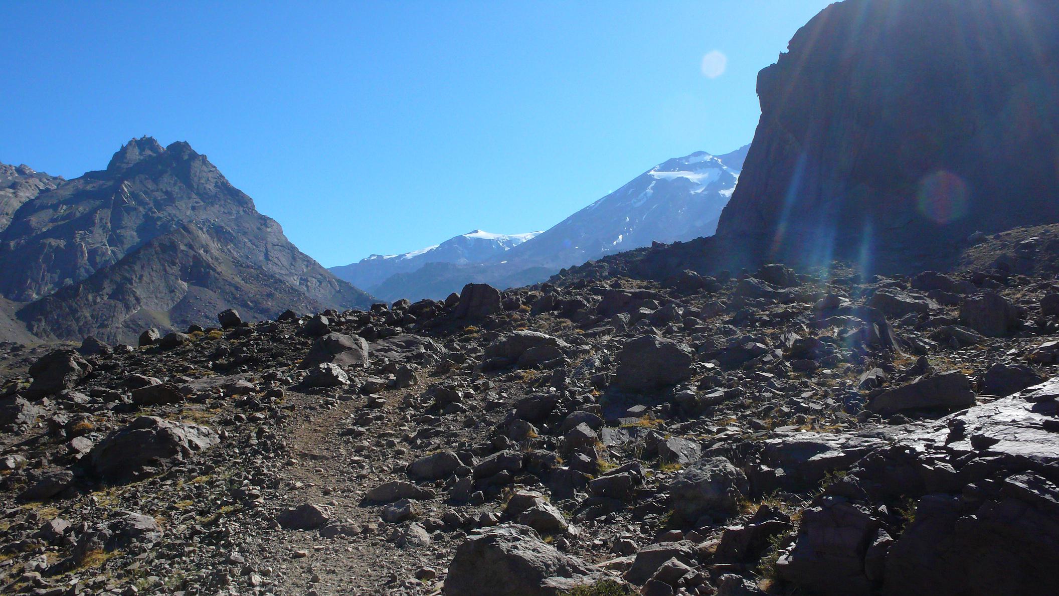
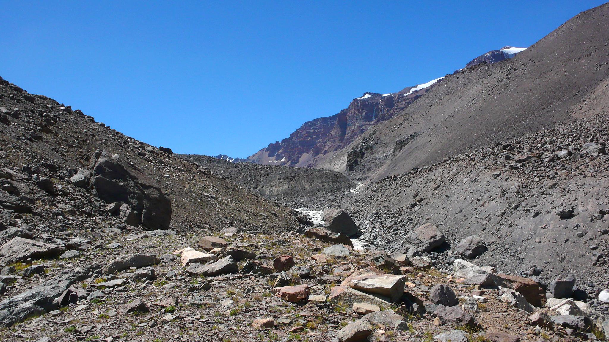
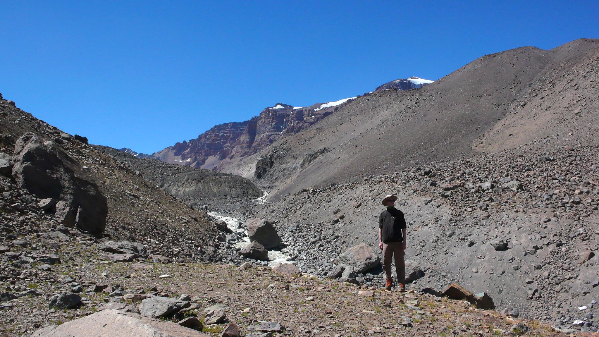
Rockfall after last night's massive 8.8M earthquake. 02/27/2010 07:16:19 At the col (4138m) between the Marmolejo Valley and the Yeso Valley, after by far the steepest part of the entire climb. 02/27/2010 13:32:00 | |
| 
|
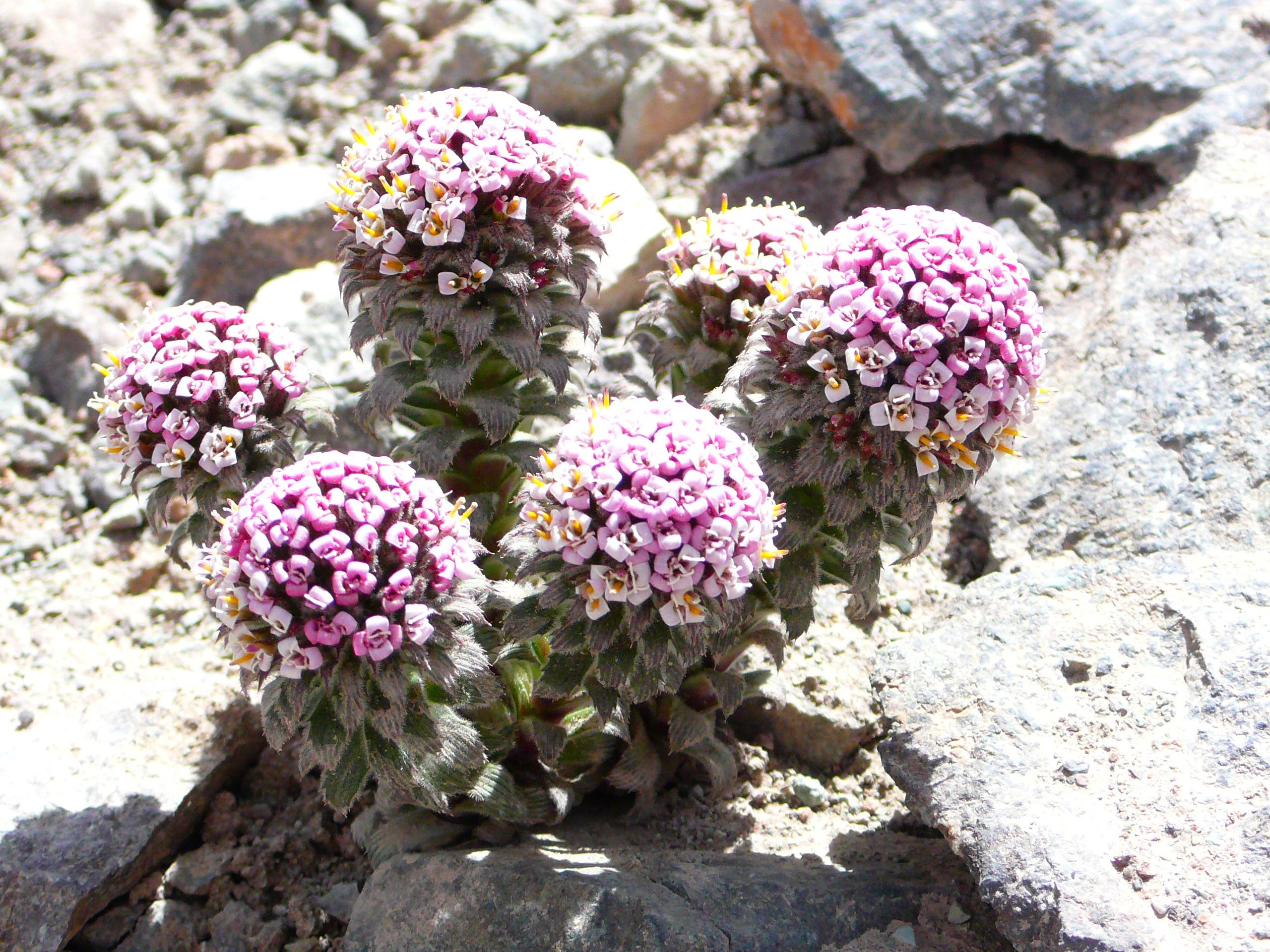
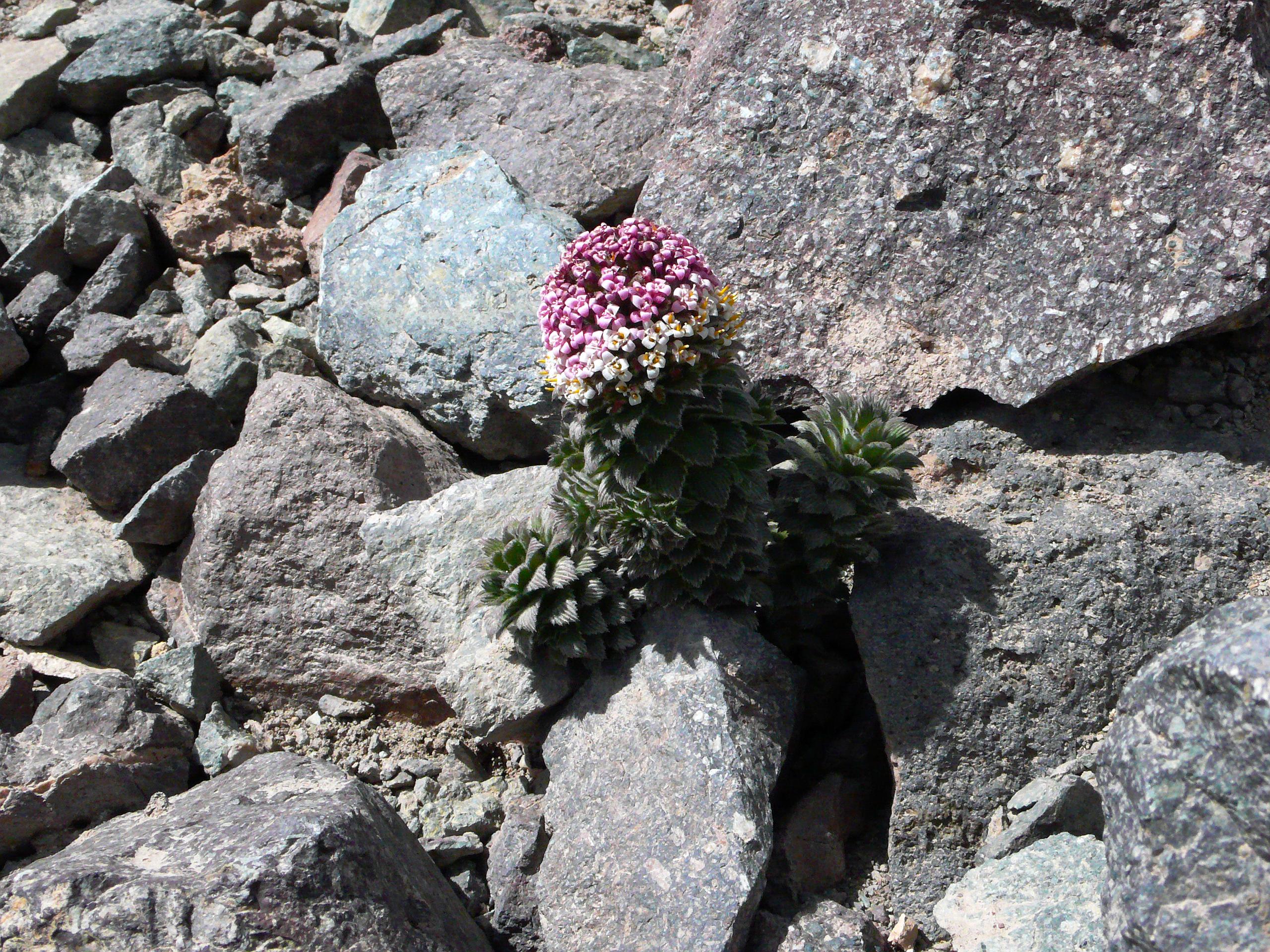
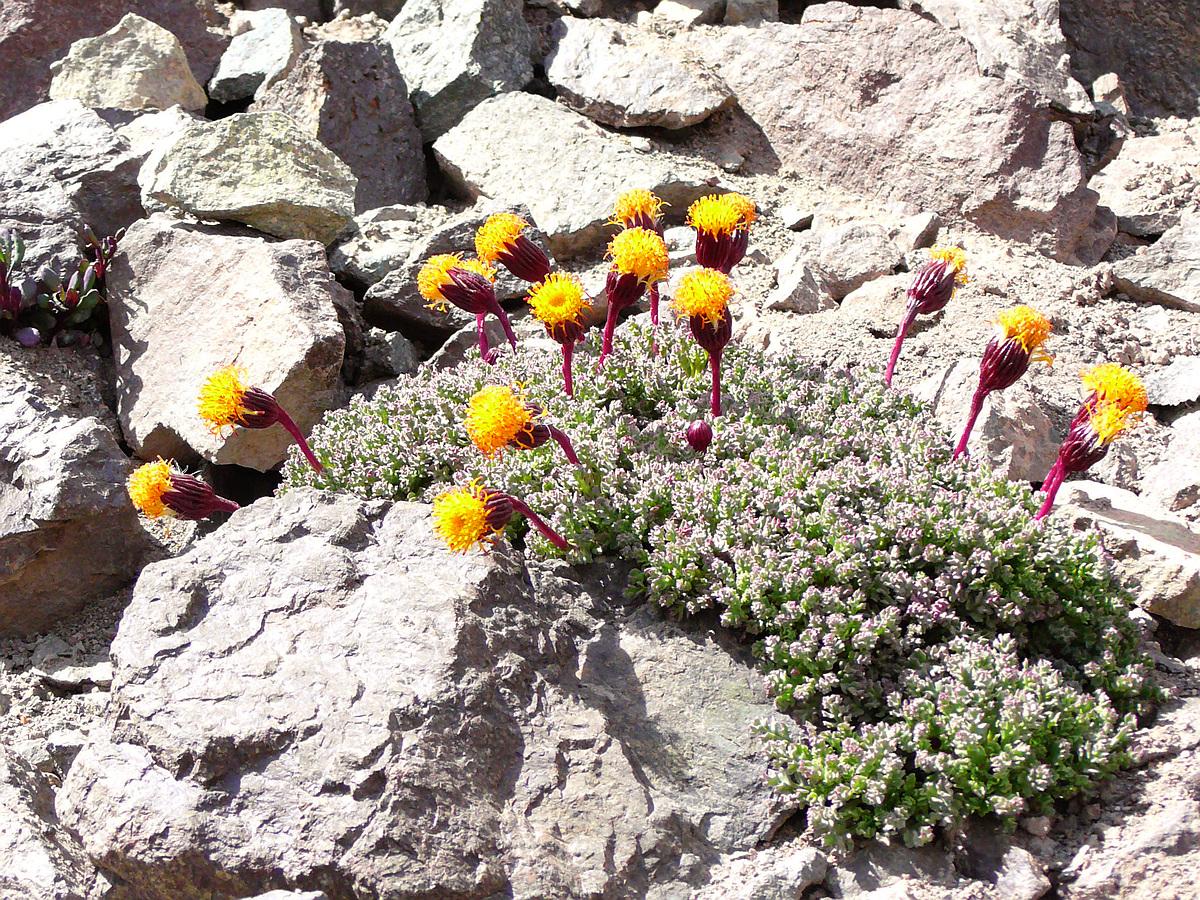
| Flowering succulents at approximately 3700m. Quite a few of these grew near the point where you finally leave the bottom of the Marmolejo Valley and start to climb up the steep right-hand-side ridge. 02/27/2010 14:50:55 & 14:52:03 & 14:53:10 |

| 
|
|
Loma Larga (5404m) close up from camp 1. 03/01/2010 08:24:27 Feasting our eyes on the Yeso Valley and Piuquenes (6019m). 03/01/2010 10:09:09 | |
|
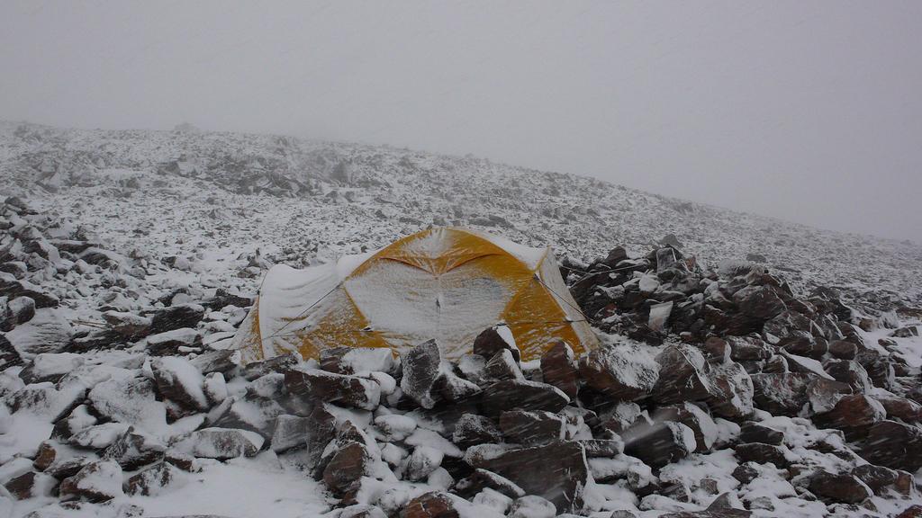
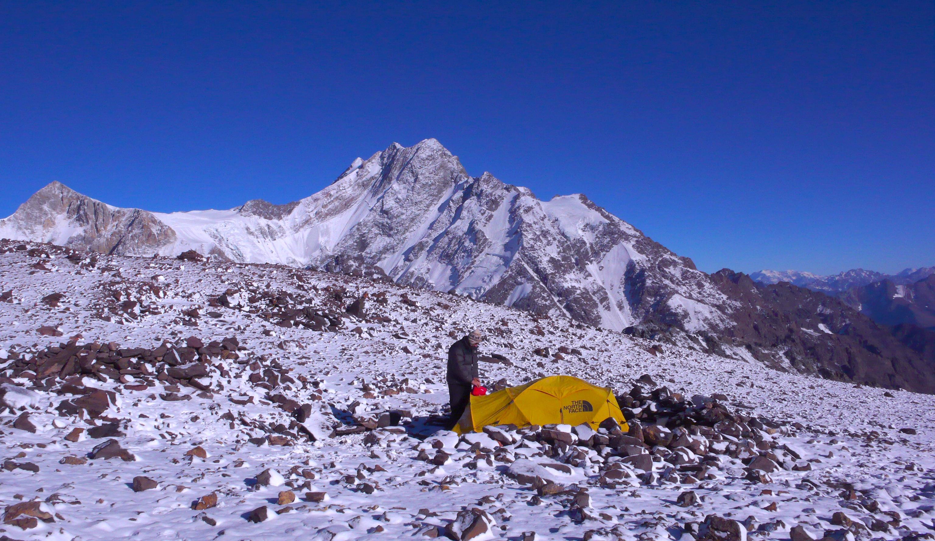
My guide Manuel (nice Koflachs!) in front of Cortaderas (5197m), with Punta Italia (4863m) to the left/south and Loma Larga (5404m) to the right/north. 03/01/2010 10:41:54 On days like these, you're glad your tent is bright yellow. 03/01/2010 16:56:47 Camp 1 on the evening after the sudden whiteout, with Marmolejo's glacier and summit pyramid (6108m) in the background. 03/01/2010 19:41:39 |
| 
|
|
|
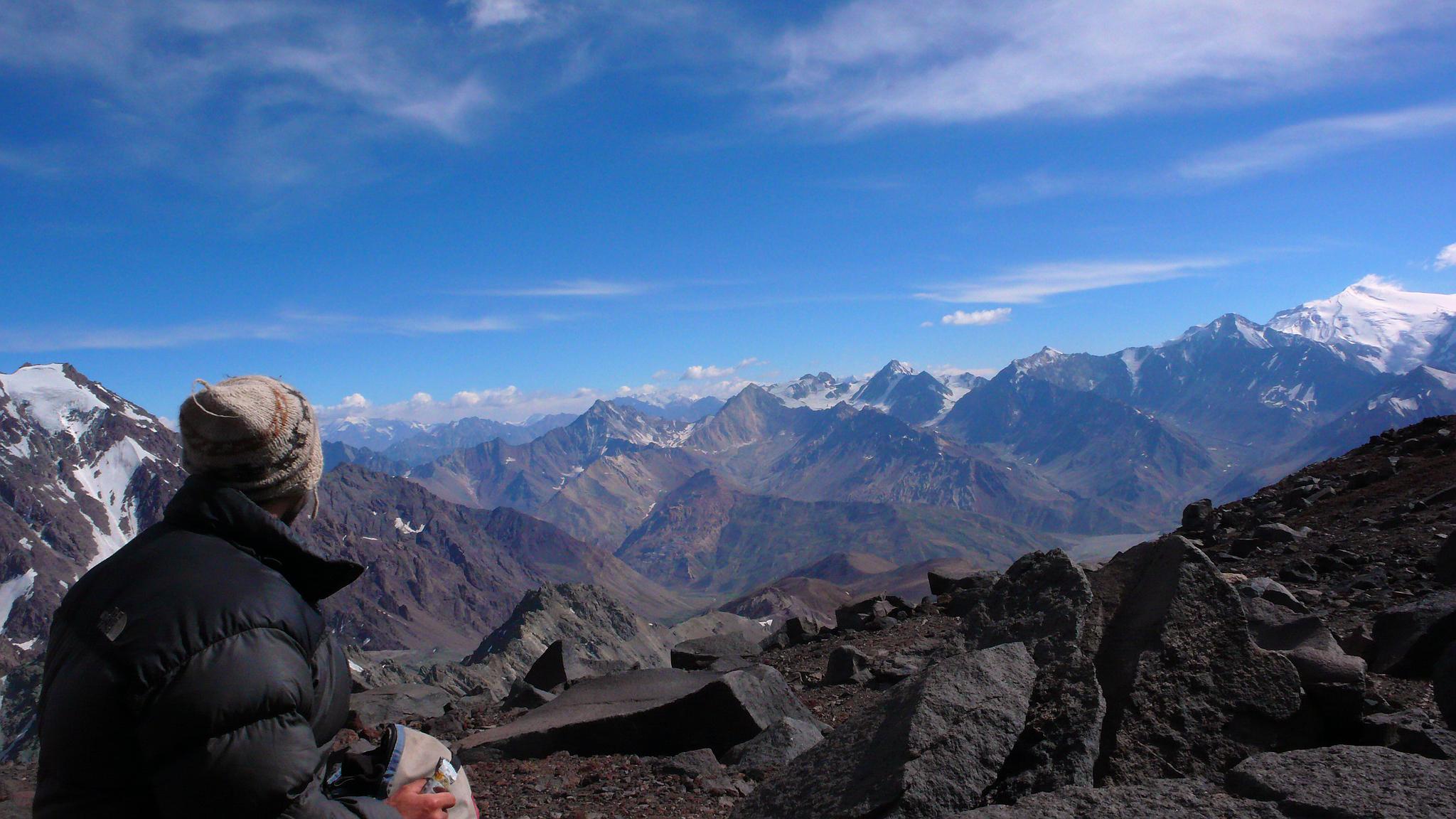
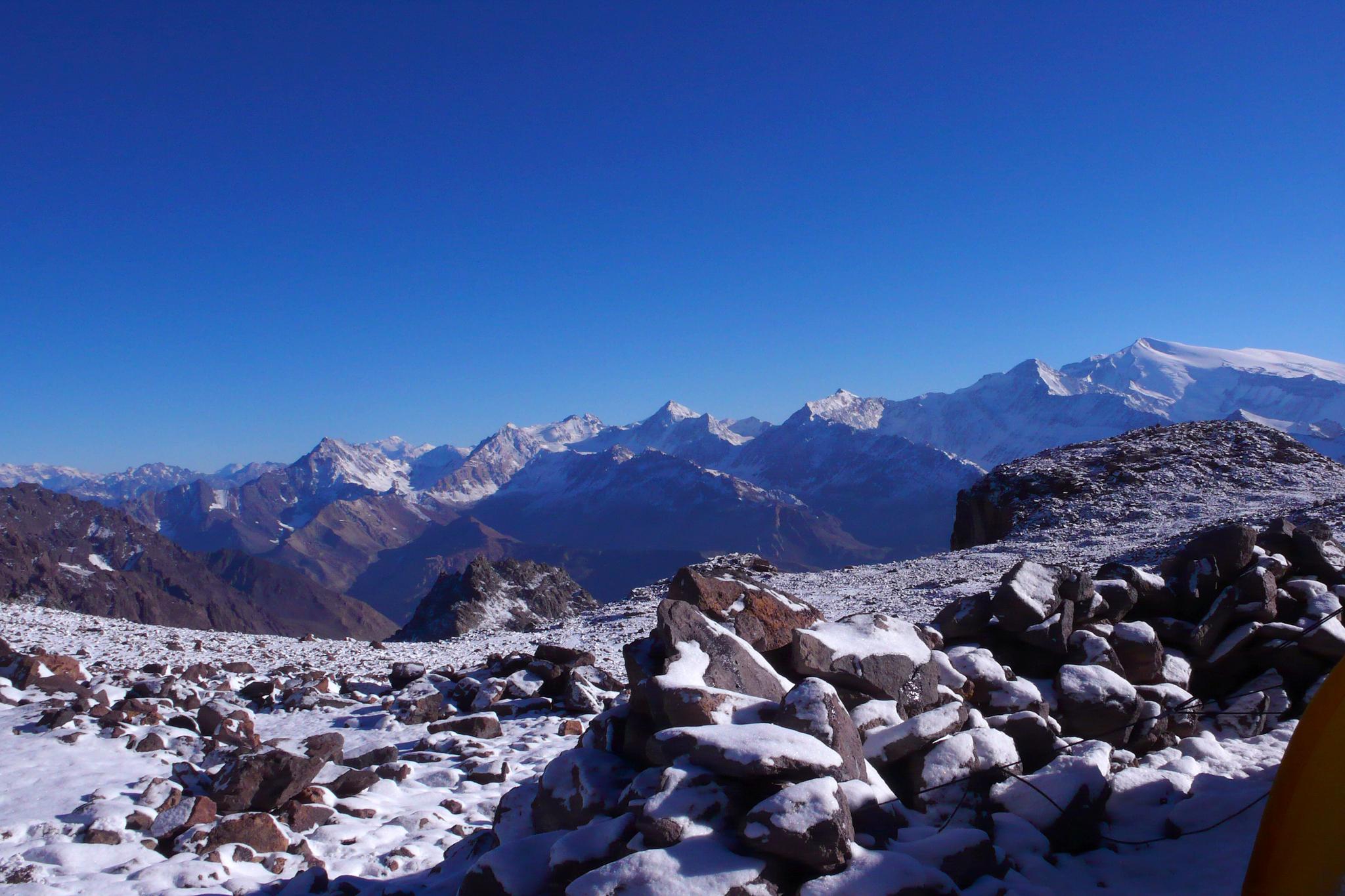
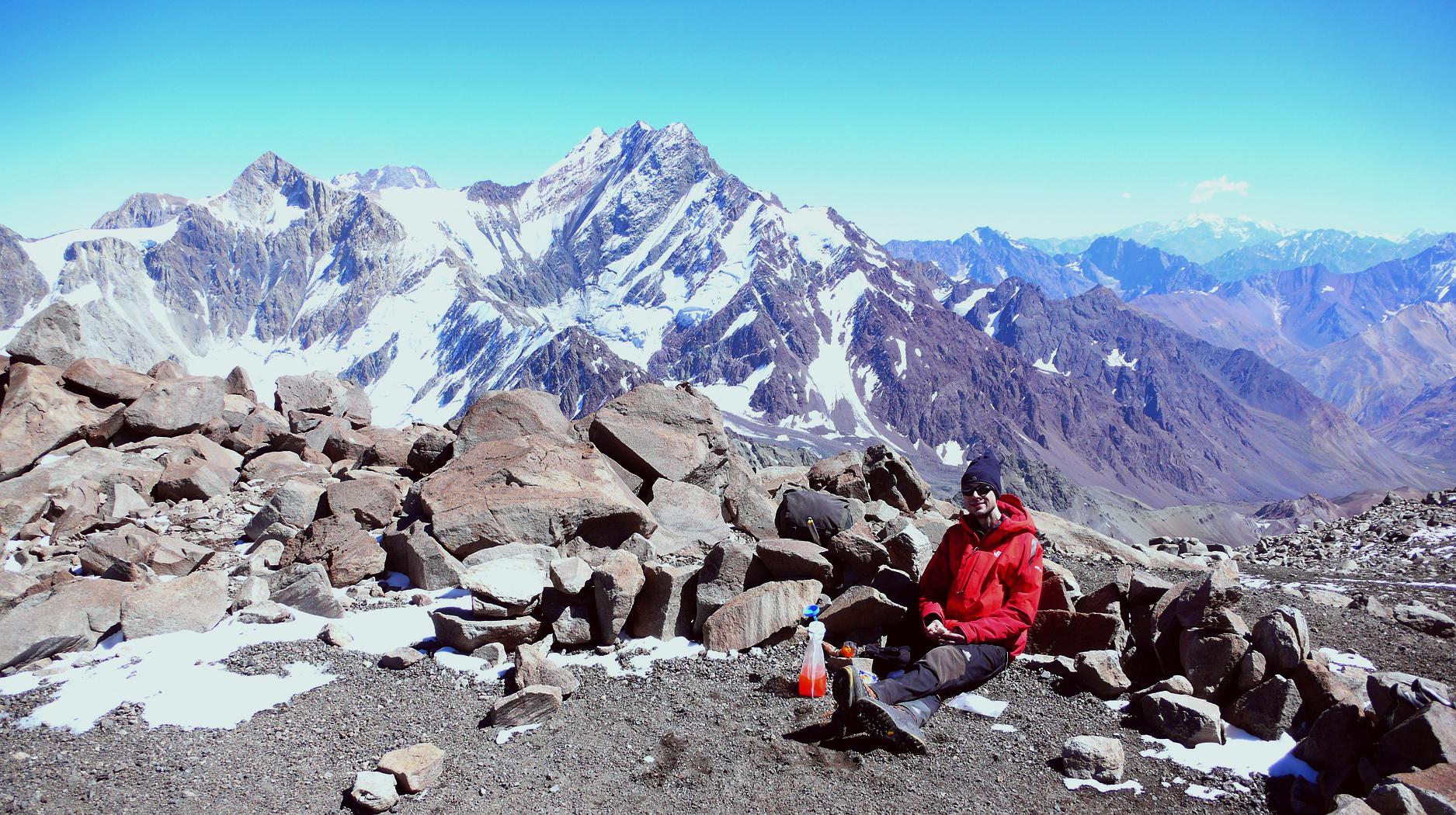
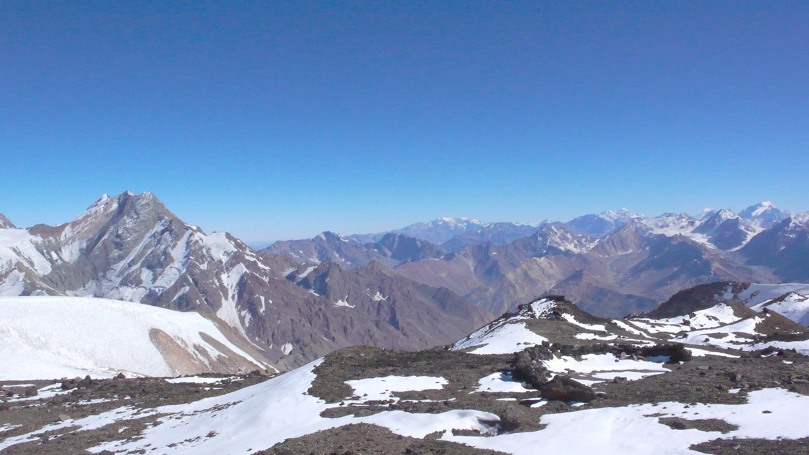
Panoramas don't get much better than this (I think...). 03/02/2010 08:12:30 From camp 1, the view ranges from Cerro del Plomo (5424m) to the far left, via Tupungatito (5640m), Alto (6148m) and Piuquenes (6019m), to Piramide (5520m) to the far right. The high snowcapped peak farthest away, in the left half of the picture, could be Polleras (5993m), but I'm not sure. |
|
 | Manuel in camp 1, in front of Loma Larga (5404m), with Cortaderas (5197m) to the left. 03/02/2010 08:13:16 |
|
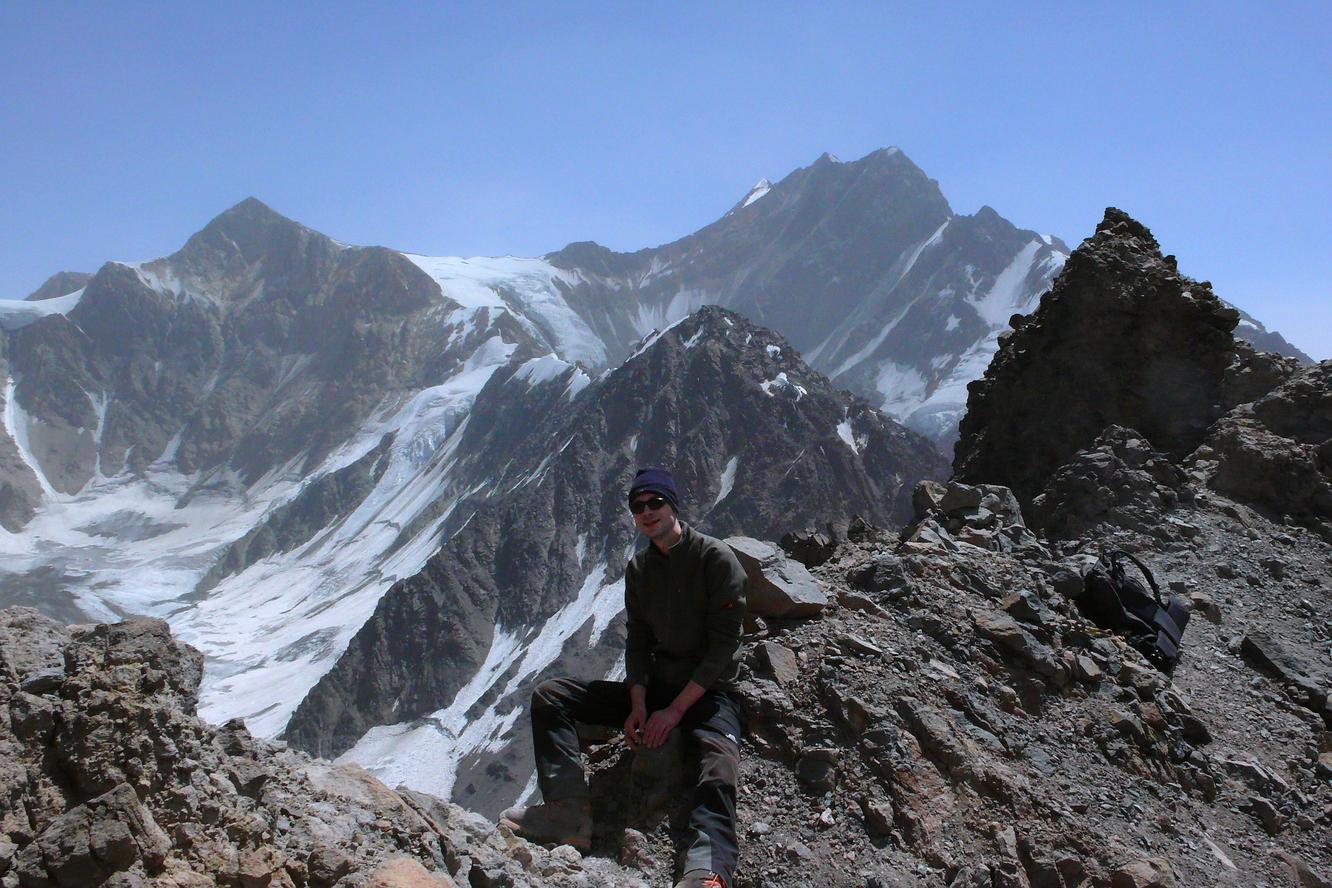
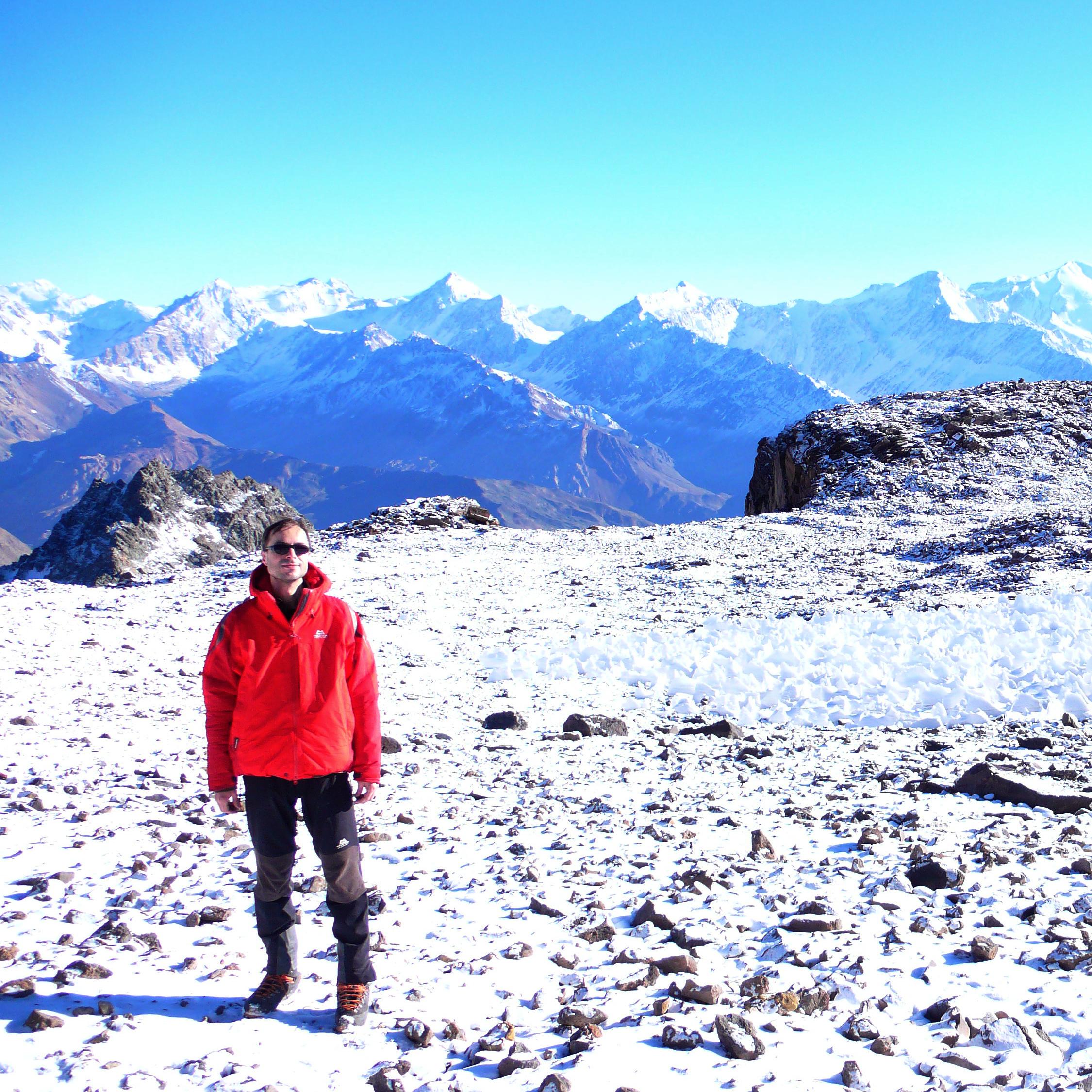
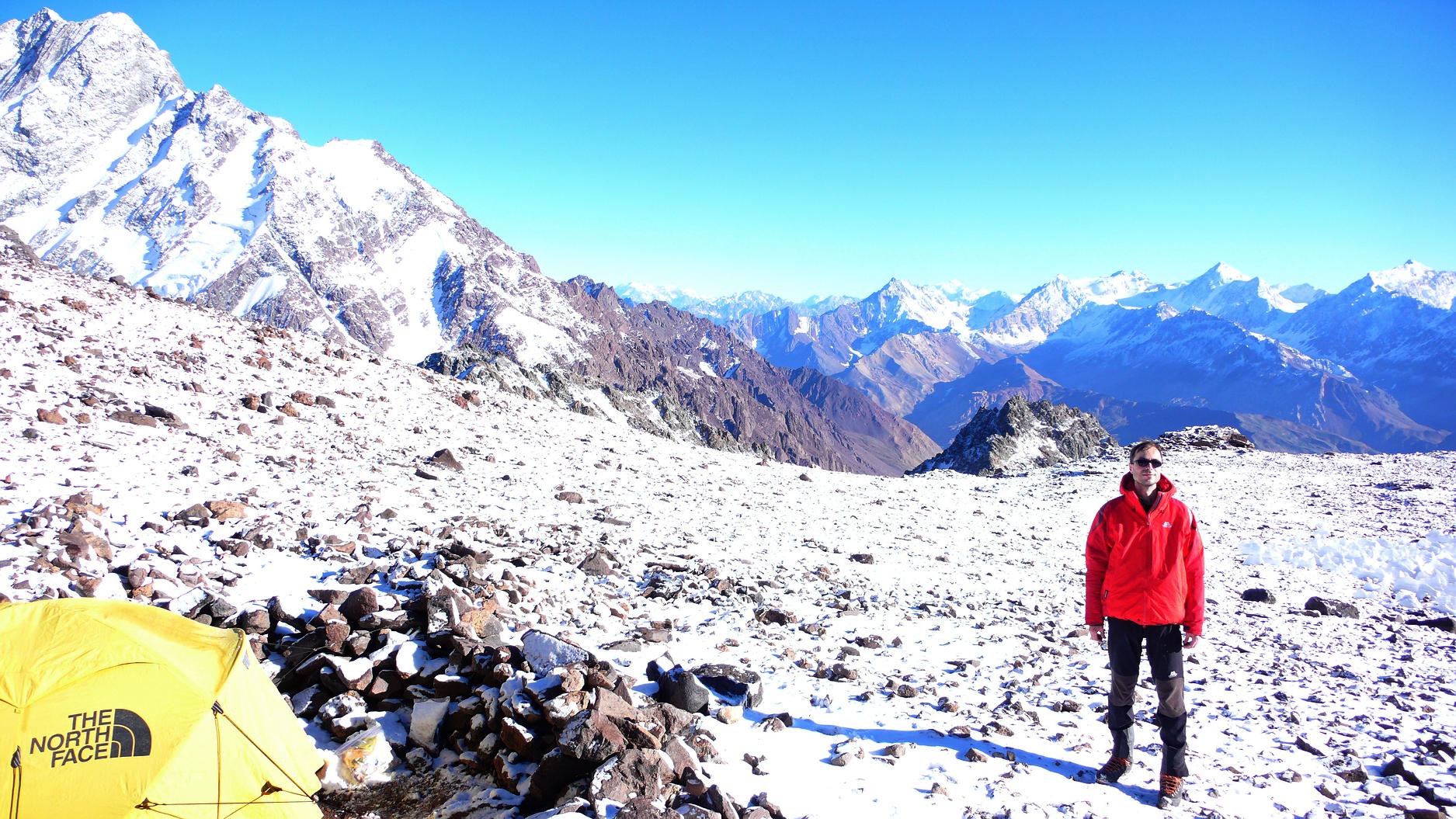
Me in camp 1 at a little over 4100m. 03/02/2010 08:21:42 & 08:21:47 Both photos by Manuel Bugueño. | |
|
| |
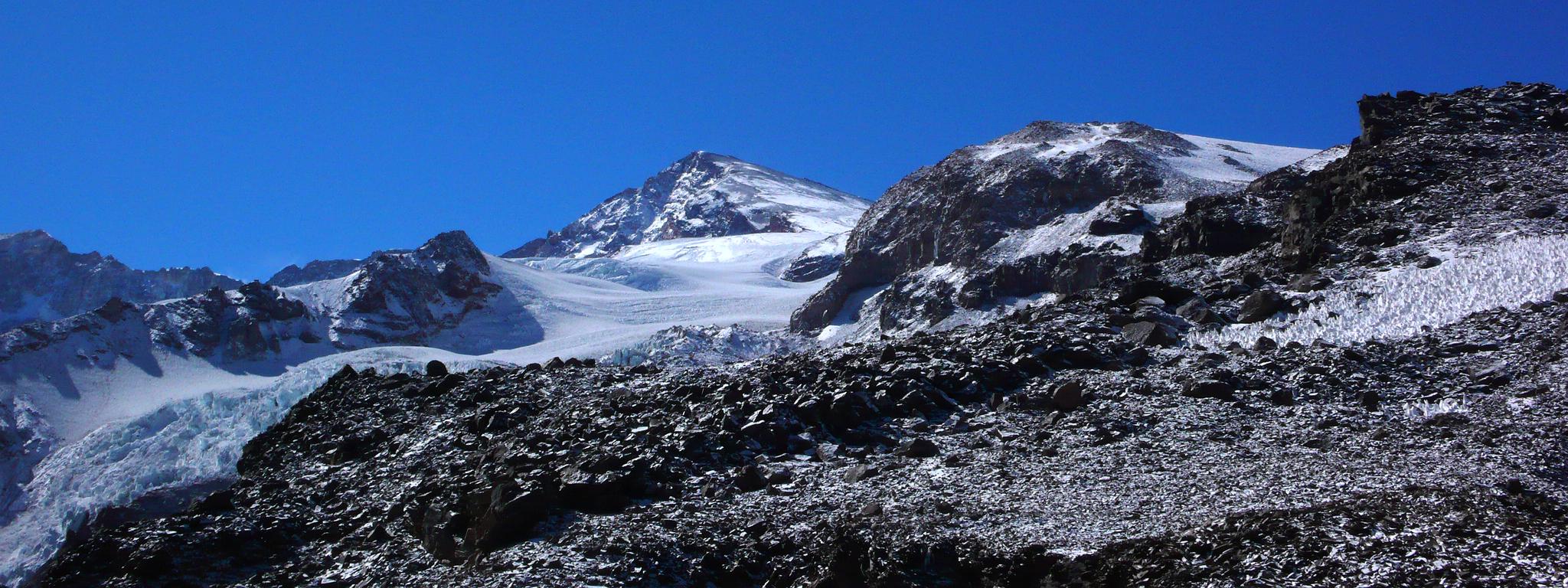
| Looking up 2000 vertical meters from camp 1 at around 4100m to the summit of Marmolejo at 6108m. The route is via the prominent rocky hump in the middle of the right half of the picture. Except for its north side (easily climbed on scree at its right corner) this rocky hill is completely surrounded by the vast Marmolejo Glacier (penitentes!) with its spectacular icefall. 03/02/2010 09:59:47 & 10:09:15 |

| |
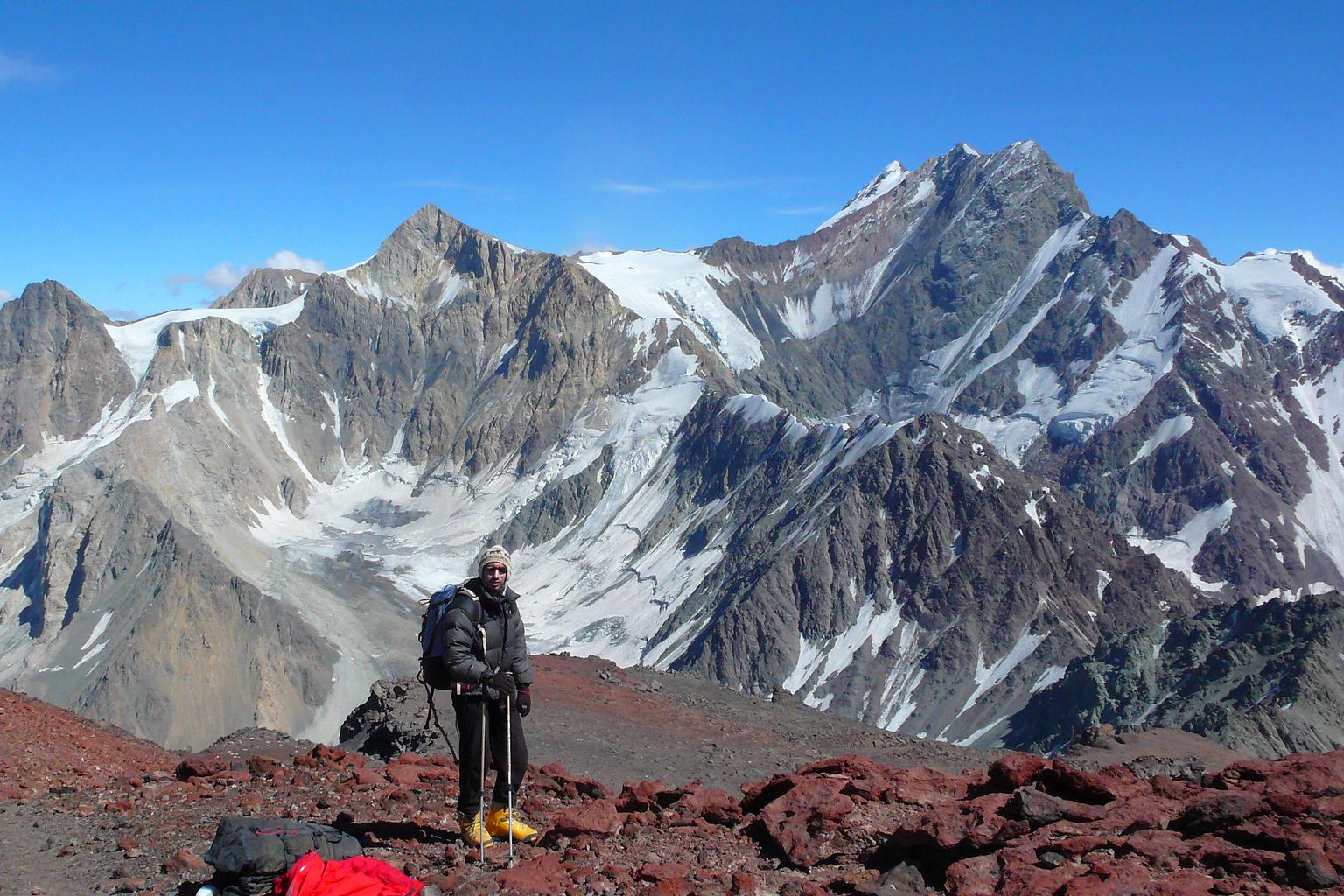
| Going up to camp 2 along Marmolejo's north-west shoulder, with Cortaderas (5197m) and Loma Larga (5404m) in the background. To the right, far in the distance, Cerro del Plomo (5424m) can be seen. 03/03/2010 10:27:02 |
|
A break and something to eat in what is normally camp 2 at around 5000m. Between Cortaderas (5197m) and Loma Larga (5404m), Mesón Alto (5200m) can be seen. 03/03/2010 11:12:33 Both photos by Manuel Bugueño. | |
| 
|
|
Frozen toes —well, almost— on a rocky island in the middle of the Marmolejo Glacier, with Aconcagua (6963m), Tupungato (6570m), Piuquenes (6019m) and more 6000ers in the background. I wonder if the mountain with the cloud around its summit is the Pabellon de Santa Clara (6070m). 03/04/2010 09:44:51 & 09:45:01 Both photos by Manuel Bugueño. | |
|
| A horizon full of 6000ers from a possible high camp on Marmolejo at a little over 5200m. To the right Tupungato (6570m), and in the distance Aconcagua (6963m). 03/04/2010 09:45:12 |
|
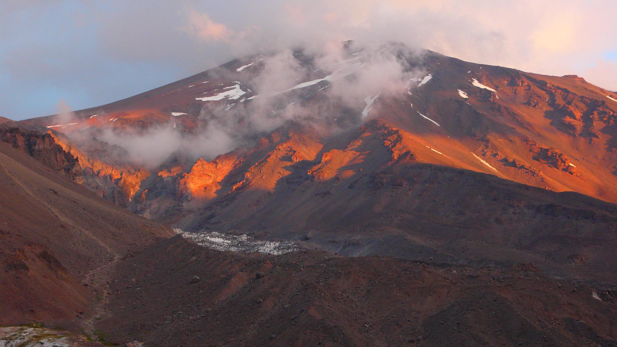
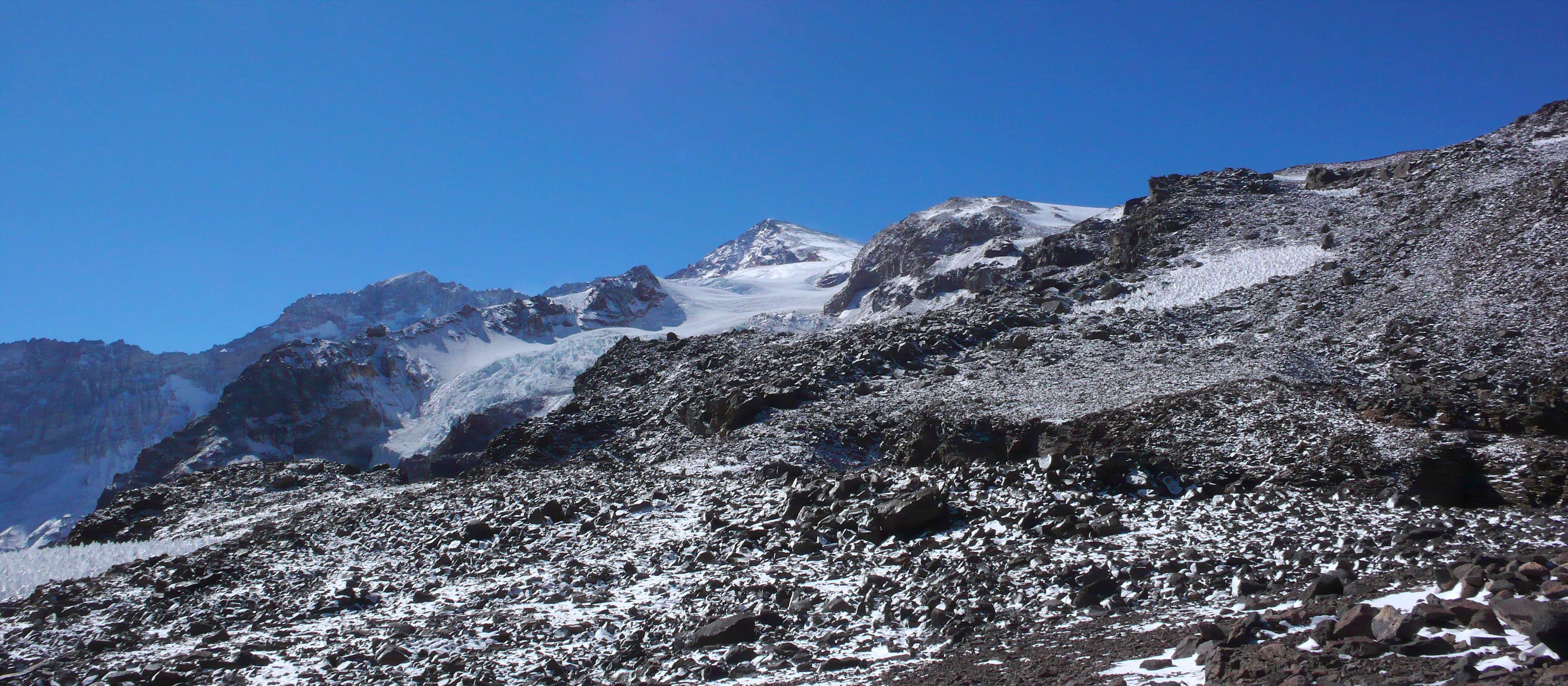
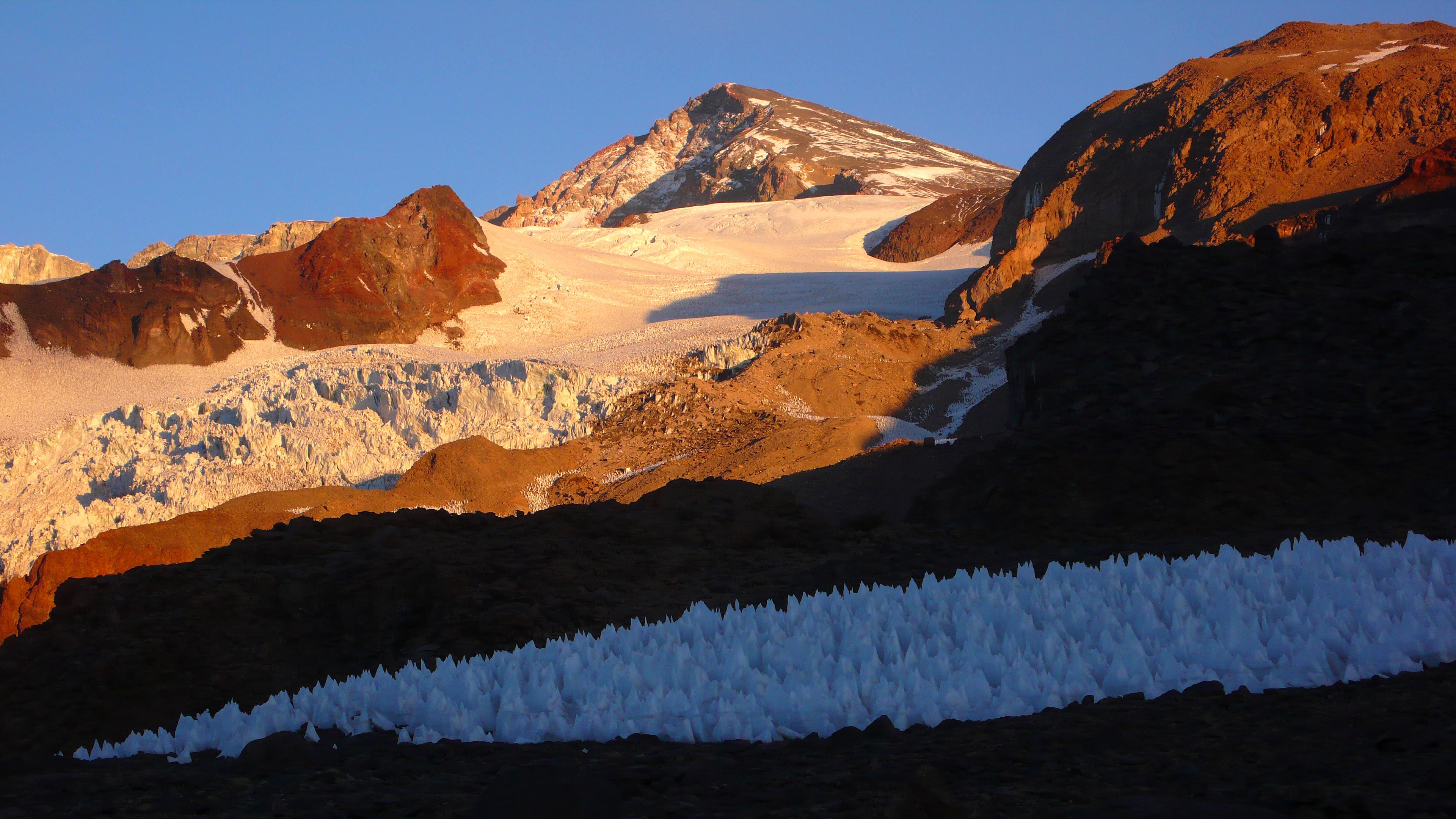
| Looking up 2000 vertical meters from the penitentes field near camp 1 at around 4100m to the glowing summit of Marmolejo at 6108m. 03/04/2010 19:08:10 |
| 
|
In the pristine Valle del Marmolejo, next to a young Estero Marmolejo.
Base camp is near the end of this valley, and camp 1 on top of the
distant, near vertical right wall. 03/05/2010 13:57:37 & 14:28:30 & 14:28:35 Last two photos by Manuel Bugueño. |
| ||
| |
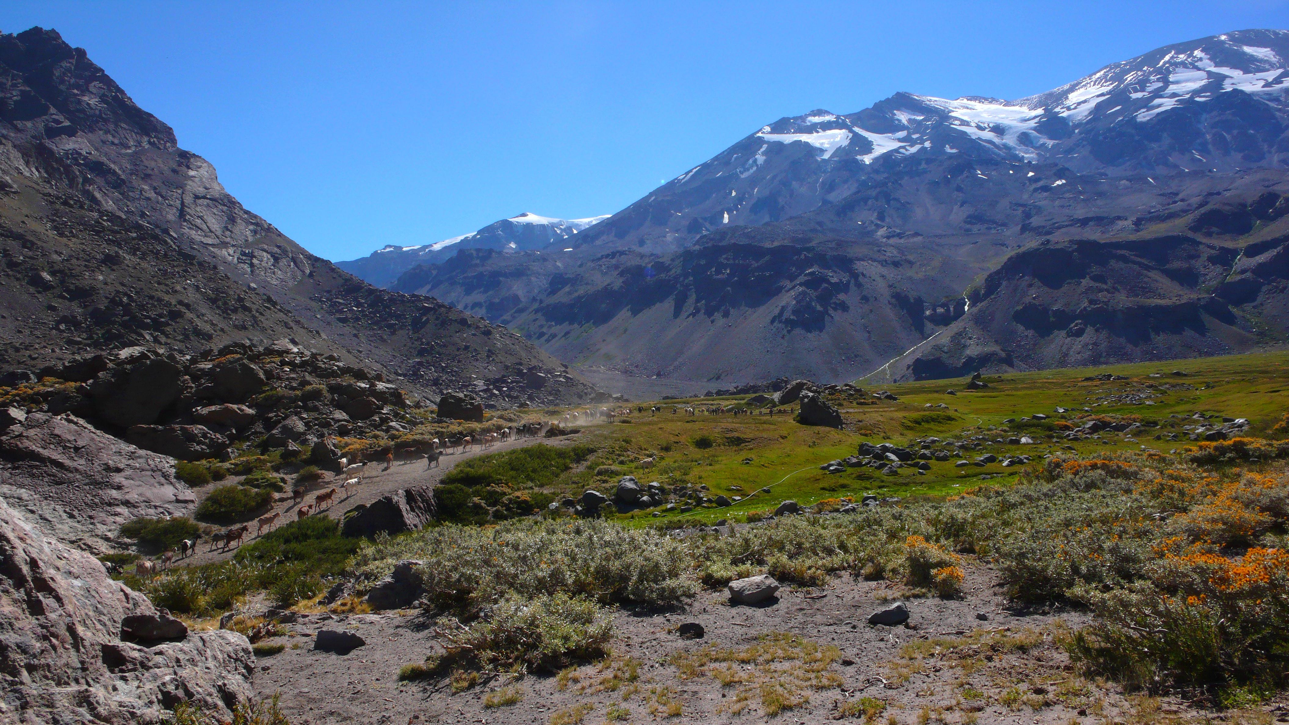
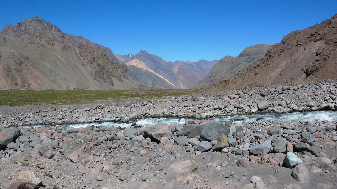
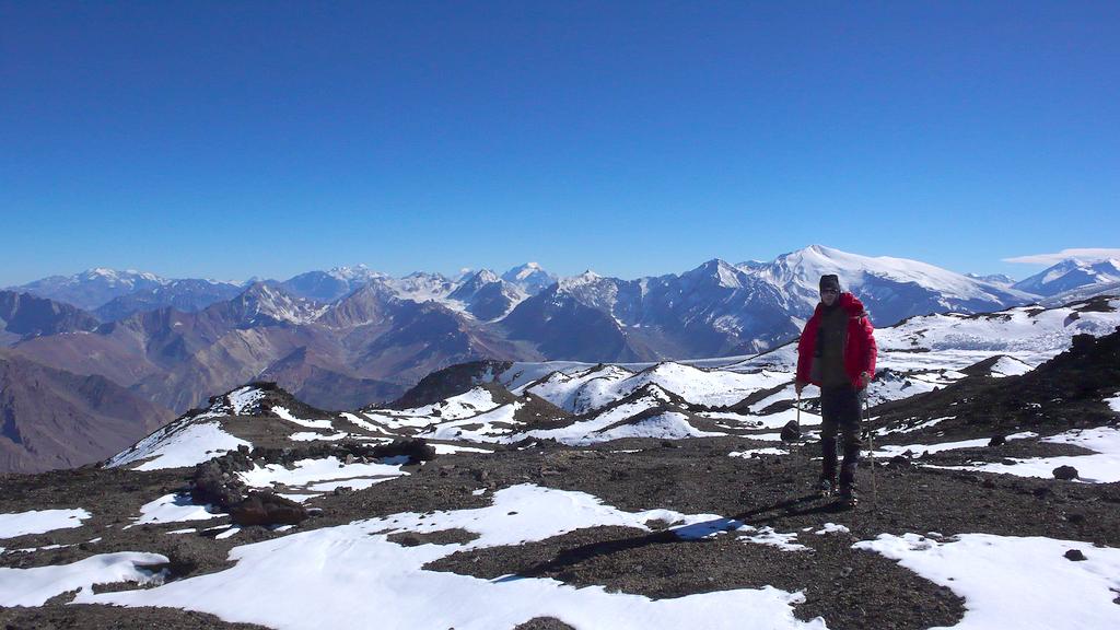
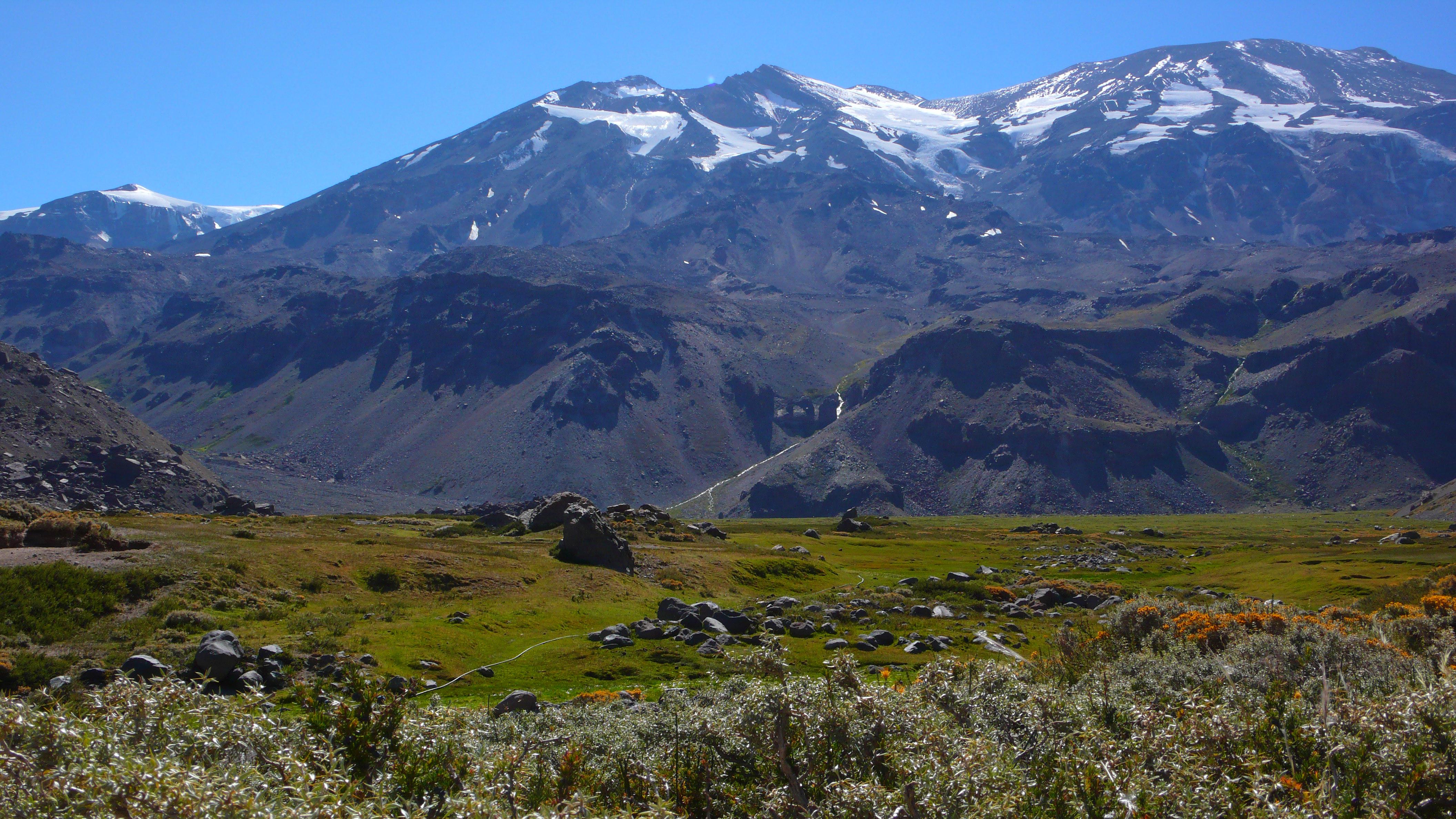
| Valle de la Engorda (a little over 2500m), as seen from the point where, having rounded Morro Negro, you enter it, looking east-north-east. In the background, from left to right (north to south), Cerro Marmolejo (6108m), Volcán Espíritu Santo (5692m), and Volcán San José (5856m). Also clearly visible are the Quebrada Norte and the Quebrada Sur, coming down from San José. 03/06/2010 10:26:26 & 10:33:55 |
| |
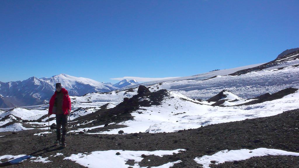
| Valle de la Engorda (a little over 2500m), as seen from the end of the track round Morro Negro, looking east. The valley is dominated by, from left to right (north to south), Volcán la Engorda, Volcán Espíritu Santo (5692m) and Volcán San José (5856m). Refugio Plantat (3130m) is hidden from view by the ridge leading to Josecito, the comparatively nearby peak to the right (approximately 3270m). Also visible are the Quebrada Norte and, albeit less clearly, the Quebrada Sur, coming down from San José. Immediately to the west of the Engorda Valley is the Parque Nacional El Morado. 03/06/2010 10:27:01 | |
All photos by Tijs Michels, unless noted otherwise; © 2010.